Researchers from Canada’s Simon Fraser University (SFU) have quite literally thrown new light on the ruins of the Polynesian Kingdom of Tonga by using Light Detection and Digital Ranging for remote study.
LiDAR, which is seeing increased use as an archaeological surveying technique, works by firing laser light at a geographical region from the air. Mounted on the underside of an aircraft, LiDAR has the ability to measure distance according to how much, and how quickly, that beam of laser light bounces off the ground and returns; as a result, land formations that would otherwise be occluded by thick vegetation are revealed.
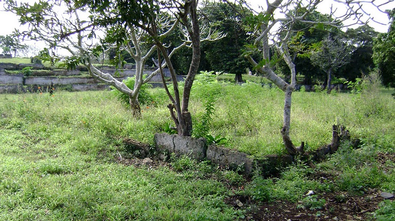
According to an SFU press release, archaeology professor David Burley made use of the groundbreaking technology to gather additional data on Tongan ruins he and his team have been researching. Burley said that the Tongans began to use burial mounds and also started to attempt to delineate their landholdings across the Polynesian islands by digging ditches around a thousand years ago; without the use of LIDAR, the impressions left behind by these excavation projects are almost impossible to pinpoint.
The ancient Tongans did not make use of shovels or other advanced digging tools, Burley said. Instead, they would have used baskets, digging sticks and other, more primitive methods. However, using LiDAR enables modern researchers to gather aerial evidence of these earthworks with “incredible” detail, something that land-based geophysical surveys or even satellite imaging can all too easily miss, especially as LiDAR imaging software can eliminate vegetation and non-natural features from the images gathered by the technique.
Along with PhD student Travis Freeland, Burley discovered and documented several thousand burial mounds on Tongatapu, the 99-square-mile main island of the kingdom of Tonga. Additional earthworks discovered by the SFU researchers include the remains of fortification ditches, a remnant of the Tongan civil war which occurred near the turn of the nineteenth century.
Burley is no stranger to Tonga, as he has spent the last 27 years on archaeological research in the kingdom. However, the use of LiDAR left him feeling like he was “cheating”, as the discoveries made this summer through the use of the technology – a process that took all of five minutes – would have taken years of painstaking fieldwork using more traditional methods.
In fact, many of the fortification sites Burley identified using LiDAR and then visited this summer were often undocumented. In many cases, even local residents whose families might have lived nearby for generations had no knowledge of the earthworks.
Burley called many of the discovered fortifications “spectacular”, as they featured raised earthen ridges and double ditches. At one location, the archaeologist found evidence of an underground cave system, most likely used as a last-ditch defense effort.
Revealing the existence of these sites may go a long way to preserving them, the SFU researcher remarked. Now that the location, size, and condition of these ruins is known, the way is paved for the Tongan government to safeguard them for future study, added Burley.