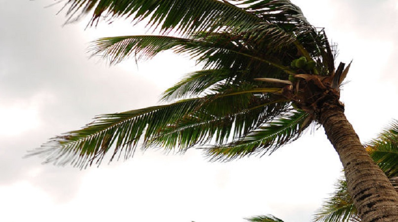
The Pacific is likely to experience a rare double dip La Niña in the coming months.
La Niña is the phenomenon where the trade winds become stronger, warming waters in the Western Pacific and causing the sea surface temperatures in the Central and Eastern Pacific to cool.
These conditions can mean cooler and above normal rainfall in the west compared to the eastern Pacific.
Climate models and prediction tools used by Pacific National Meteorological and Hydrological services (NMHSs) show this phenomenon is likely this summer.
This means countries such as Kiribati, Nauru and Tuvalu may experience below normal rainfall, while higher rainfall is like in Fiji, Niue, Palau, Papua New Guinea, Samoa, Solomon Islands, Tonga and Vanuatu.
The meteorology and climatology advisor at the Secretariat of the Pacific Regional Environment Programme, Salesa Nihmei, said a double-dip La Niña episode occurs when two La Niña events develop one after the other.
Typically a La Niña episode is followed by a neutral phase or an El Niño.
But the Pacific experienced a La Niña event towards the end of last year, and forecasters say that another is developing, hence it's referred to as a double-dip La Niña episode.